
You’ve heard of a telethon…well, so far 2023 in West Michigan has been a cloud-a-thon. The pic. above was Saturday PM at the Holland Channel. You can see the Holland “Big Red” Lighthouse and some ice lingering at the shore. That ice formed mainly in the week before Christmas. You can also see the endless gray sky.

The graphic above (from Andy Schut) is a list of the longest stretches of totally overcast days in Grand Rapids. The record is 16 days (over half a month) way back in 1914. We’ve had at least two stretches of 15 consecutive days. The most recent of those was in 1992. We can remiove the question mark from 2022-2023 – that is now official – 8 days with no sun.
If you go further back, Grand Rapids has had just 10% of possible sunshine since Nov. 30. We have not had a day with over 50% sunshine since Dec. 4.
On the other hand…we’ve lost the Arctic air. We’ve now had 11 days in a row that have been warmer than average. That pattern should continue for at least the next 1-2 weeks, though we are not done with “winter”.

The picture above was taken from the Bittersweet webcam at 2:36 am Sunday morning. It’s 29° in Grand Rapids. That’s cold enough for snow-making and you can see the snow guns are firing on all cylinders! Cannonsburg is open now and Timber Ridge may open (check the link).
ALSO: Lightning hits a building in Houston. Northern Lights in Iceland. Lake Superior waves. Twister sequel will officially hit theaters July 2024. Full moon and palm trees. Nice rainbow. Birds! Snow in Lebanon. Another pic. of the snow in Lebanon. Volcano erupting in Hawaii. Duluth snowfall this winter so far is well above average. Good news from Australia. Avalanche! A whale of a video. Ka – Boom! Tide wave in CA. Mt. Hood sunrise (OR). Snow blowing off the top of a mountain. Colorful, foggy landscape in France. Beautiful mountain in Chile.

The above pic. is radar (from KRON). Those are rare thunderstorms in the San Francisco area. They have the potential to produce strong wind, small hail and heavy rain. An isolated waterspout isn’t impossible. At 2 am EST, a wind gust of 60 mph was reported at Yreka, 51 mph at Oakland, 43 mph at San Jose and 41 mph at San Francisco.
Over the 10-day period ending on Jan. 4, downtown San Francisco recorded 10.33 inches of rain, the wettest 10-day stretch there since January 1862.
Very heavy snow will fall in the Sierra Nevada Mountains. The NWS says: “…the first system Saturday night into Sunday – expect snow amounts of 6 to 18 inches above 6,000 feet. With the second stronger system on Monday morning until Tuesday night, expect 3 to 6 feet of snow with locally heavier amounts above 8,000 feet and 18 inches to 3 feet between 6,000 and 8,000 feet. Winds could gust as high as 50 mph.”


Here’s reservoir levels in California. The climate of California is often either flood or drought and of late it’s been drought. So this rain is welcome in the sense that the rain will help get levels up now and they will continue to rise well into the spring as the mountain snow melts.

Here’s Southwest U.S. Radar
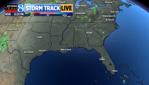
Southeast U.S. radar

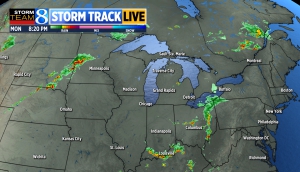
Midwest Radar
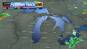
Michigan radar
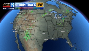
National radar
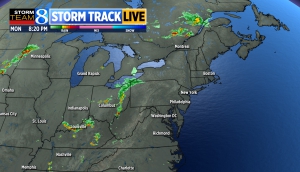
Northeast radar
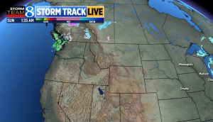
Northwest radar
